Macro-location, micro-location, property
When analysing a property, there are three levels. The macro-location is the municipality: taxes, jobs, population, demand. The micro-location is the plot: sunlight, view, noise, natural hazards, slope position, neighbourhood, access. The property is the building and its fit-out. For the macro-location there are statistics, for the property there is the viewing and the building expert. The micro-location is usually only described, even though it can be measured.
What SunPlot analyses
SunPlot builds the surroundings of an address in 3D from the official data of the Confederation and the cantons and evaluates up to 33 chapters. The figures are based on the publicly available geodata of the Confederation and the cantons and on our own calculation.
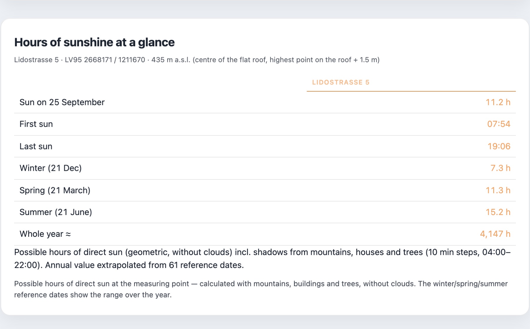
- Sunlight: hours of sunshine per day and year, sources of shadow, sun path, shadows on the reference dates, shadow-hours map.
- View: panoramic view from every façade and floor, visible mountains, building zones in the surroundings.
- Risks: natural hazards, surface runoff, earthquakes, hail, groundwater, noise, air, accidents.
- Access: public transport quality class, stops, shops, school, internet and mobile network.
- Potential: solar potential of the roof, time travel through aerial photos, local climate.
Who the analysis is for
- Buyers: know the location before the viewing and ask the right questions. Single report CHF 49.
- Sellers: document sun, view and quiet instead of just claiming them. The report as a link in the listing or in the dossier.
- Estate agents and valuers: back up the micro-location with figures, compare two properties, your own logo, payment by invoice. With a subscription.
- Architects and planners: sunlight and cast shadows as a preliminary check before the formal specialist proof.
Short answers
What is the difference between a property valuation and a location analysis?
A valuation estimates the market value, usually with statistical models based on comparable properties. A location analysis documents the factors of the micro-location: sun, view, noise, natural hazards, access. SunPlot provides the location analysis, not a price estimate.
Which data does SunPlot use for the analysis?
Official data from the Confederation and the cantons: terrain, buildings and trees from swisstopo, sonnendach.ch from the SFOE, noise and hazards from the FOEN and the cantons, public transport from the ARE and FOT, building zones from the ARE, accidents from FEDRO, climate from MeteoSwiss.
Is the analysis available for every address in Switzerland?
Yes. Terrain, buildings, trees and the federal maps are available throughout Switzerland. The cantonal hazard maps are missing in Nidwalden, Obwalden and Vaud. The checker shows this for every address before you buy.