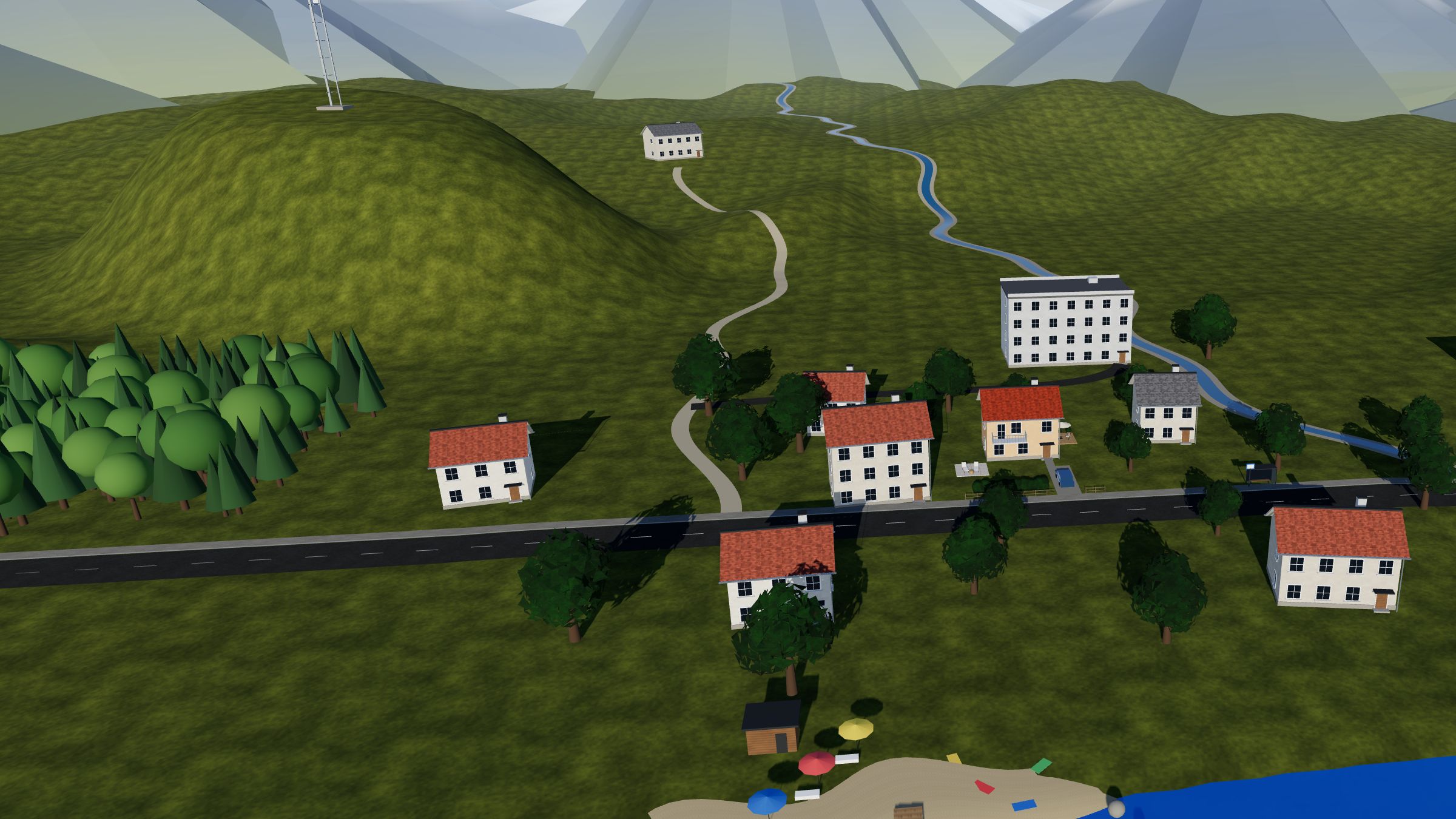
 3D animation · 8 chapters
The report in 3D
Rather watch than read?
Using an example house, the 3D animation shows what the report can do: sun path, seating area, shadow, LiDAR trees, terrace, hills and location. With chapters you can click on.
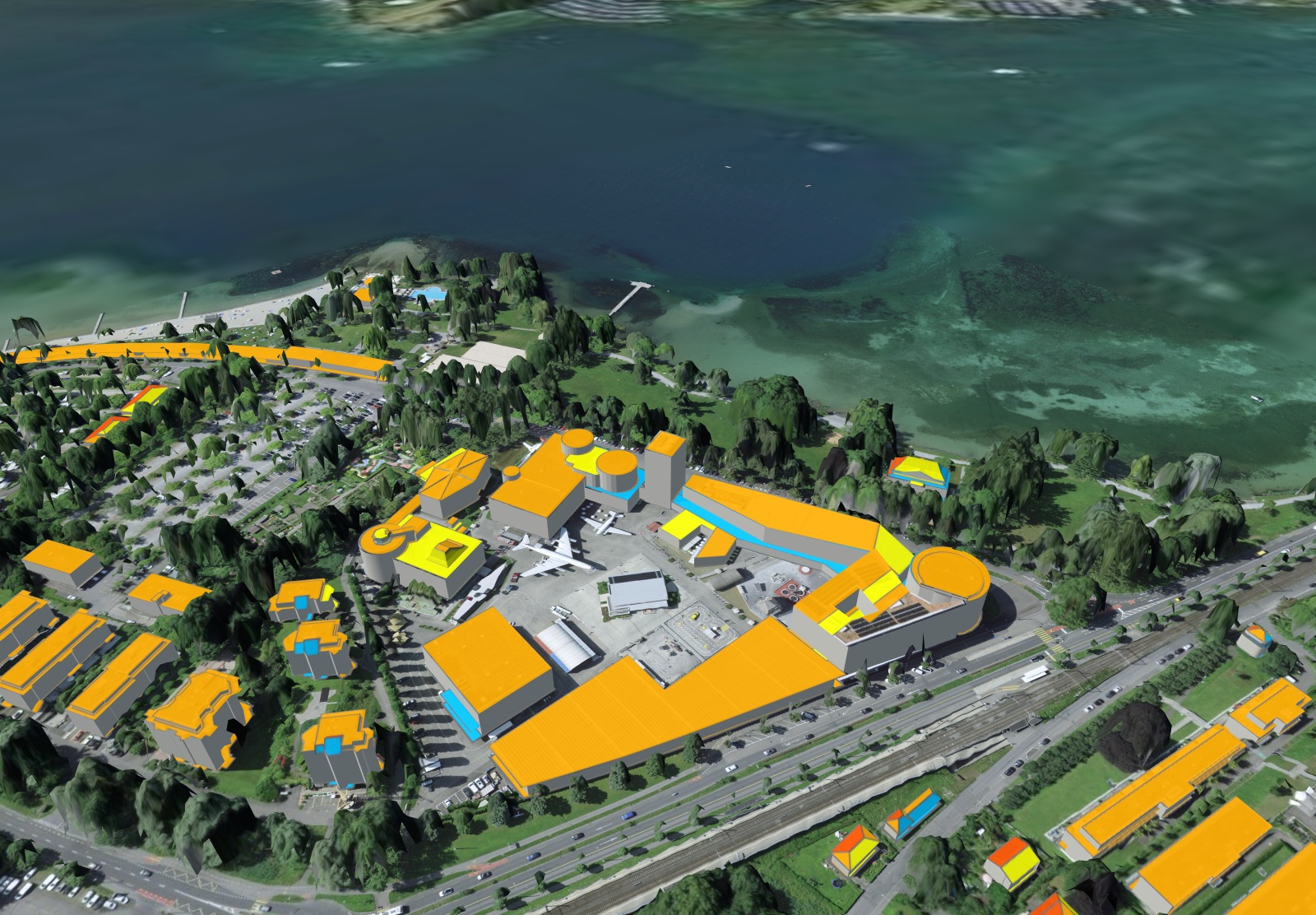
Two properties, everything captured in the app: the Swiss Museum of Transport in Lucerne with video, sun path, time travel and filter maps, Lungern church on mobile, tablet and desktop. Plus the complete sample report and the app.
3D animation · 8 chapters
Using an example house, the 3D animation shows what the report can do: sun path, seating area, shadow, LiDAR trees, terrace, hills and location. With chapters you can click on.
Everything on this page about the Swiss Museum of Transport comes from the same app session. There is also the complete sample report for this address.
See where the sun rises and where it sets — a day in time-lapse from the location, with the same sliders as in the app.
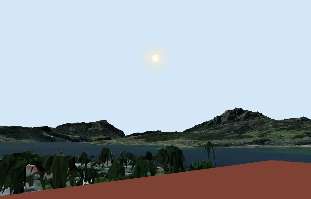

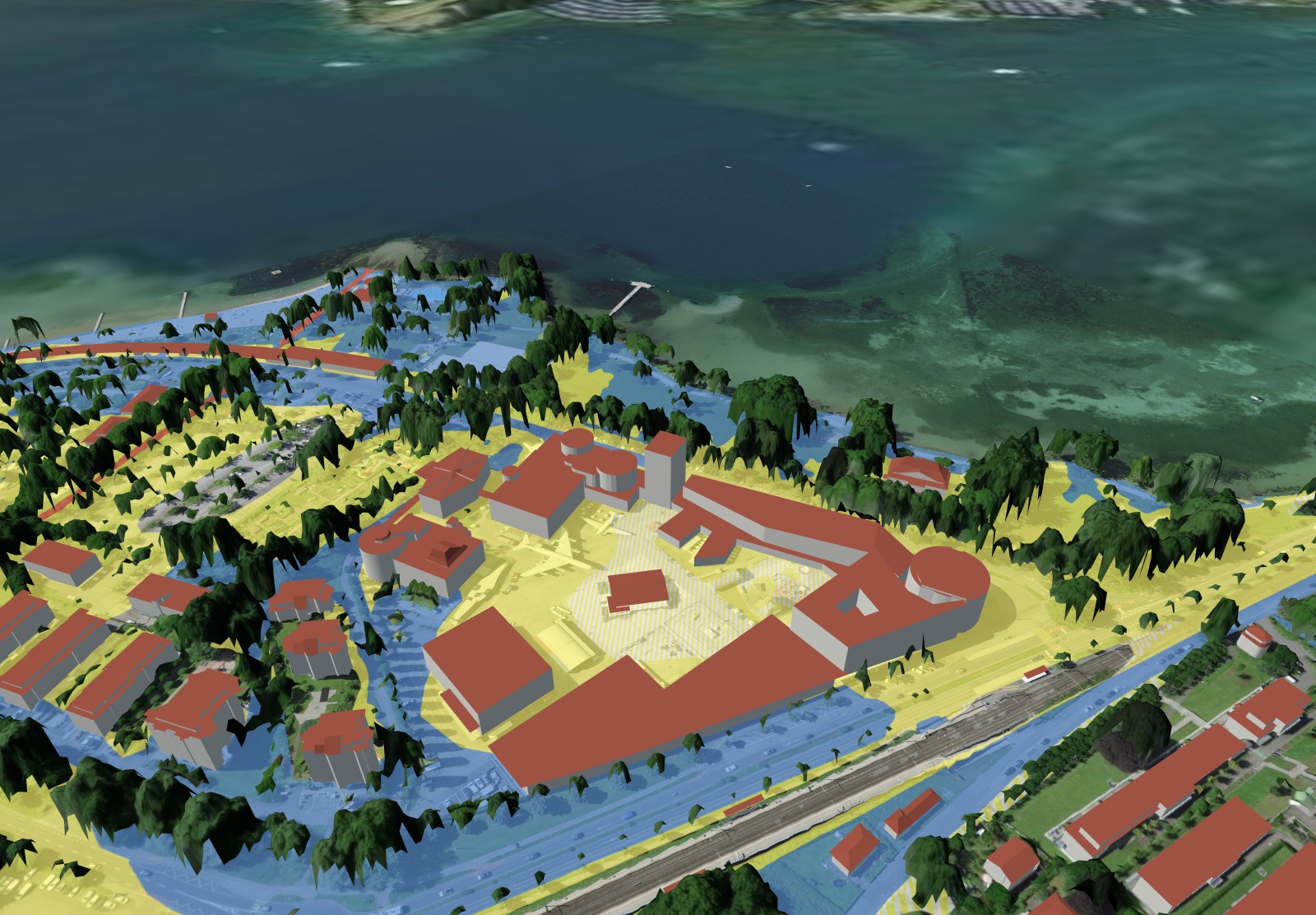

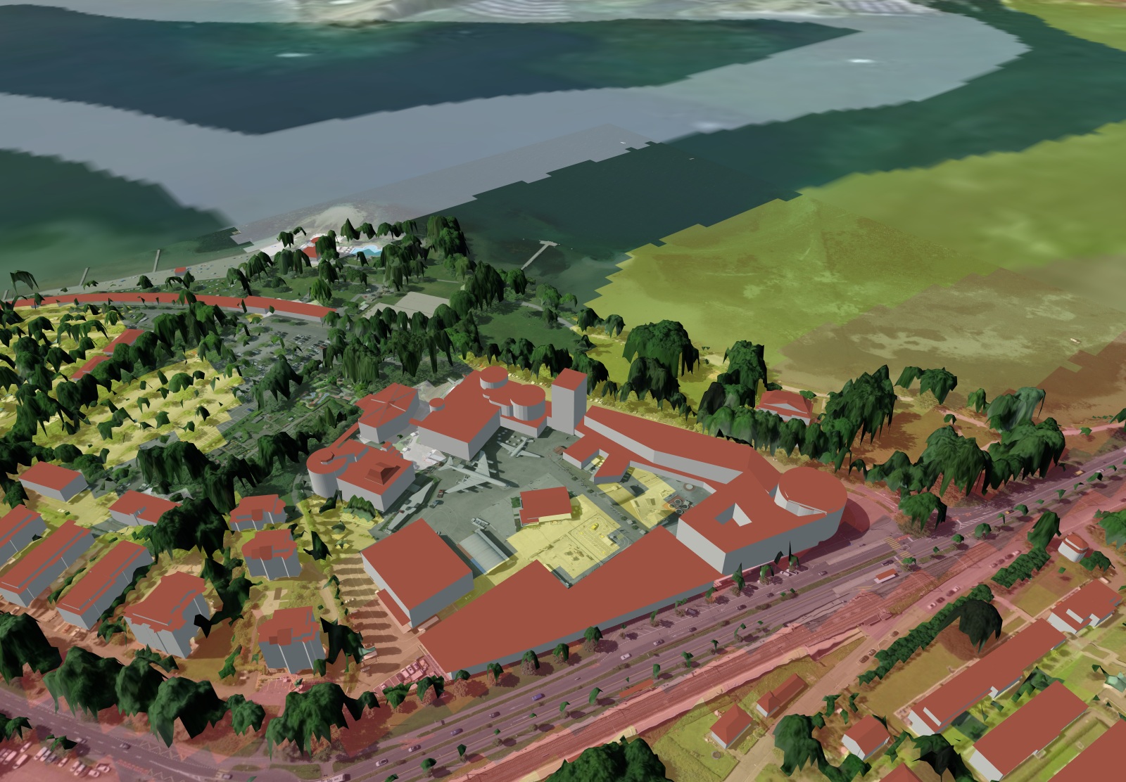



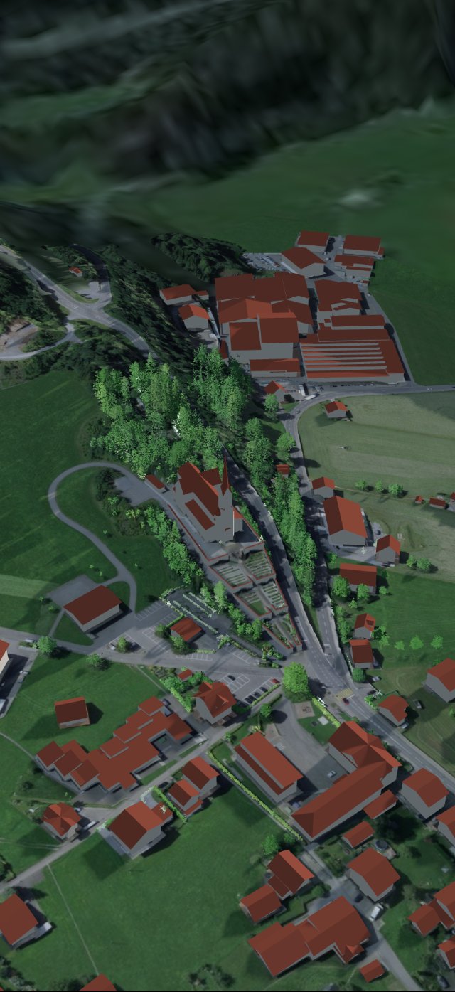
The shadow moves over the day — on mobile, tablet or desktop, always the same app. On 2 September, Lungern lies in the mountain shadow before 09:30 and after 18:30.
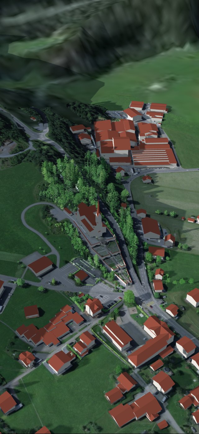
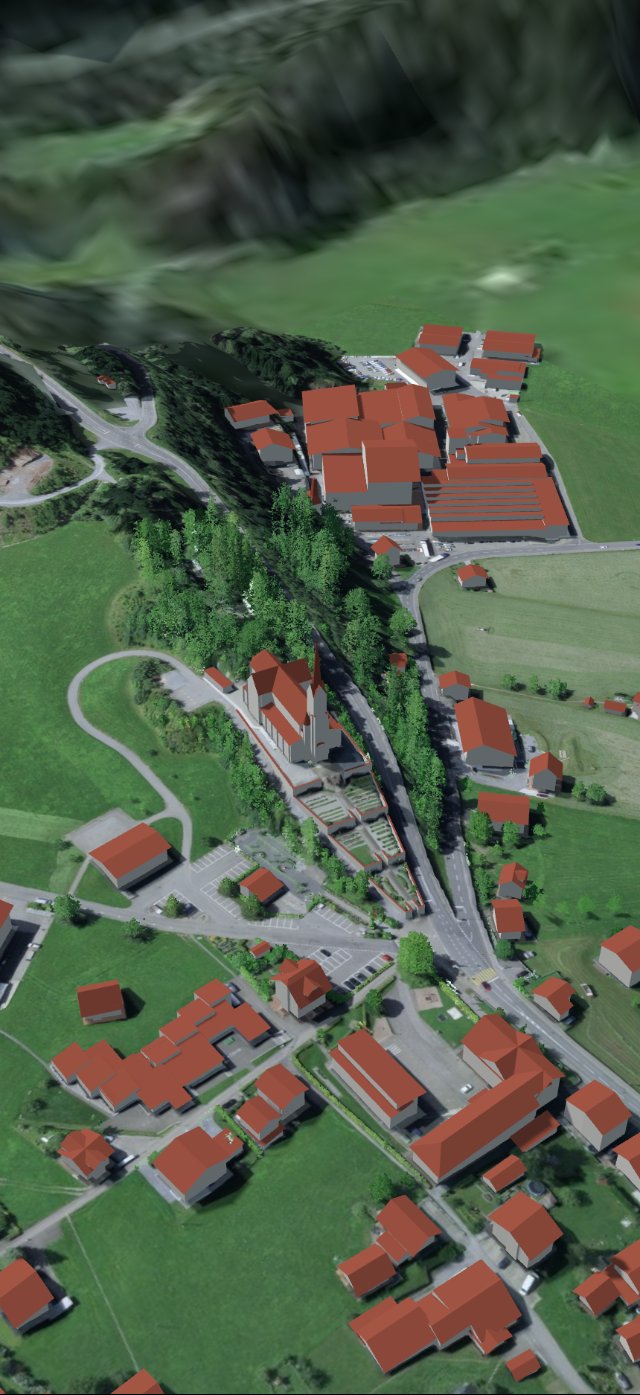
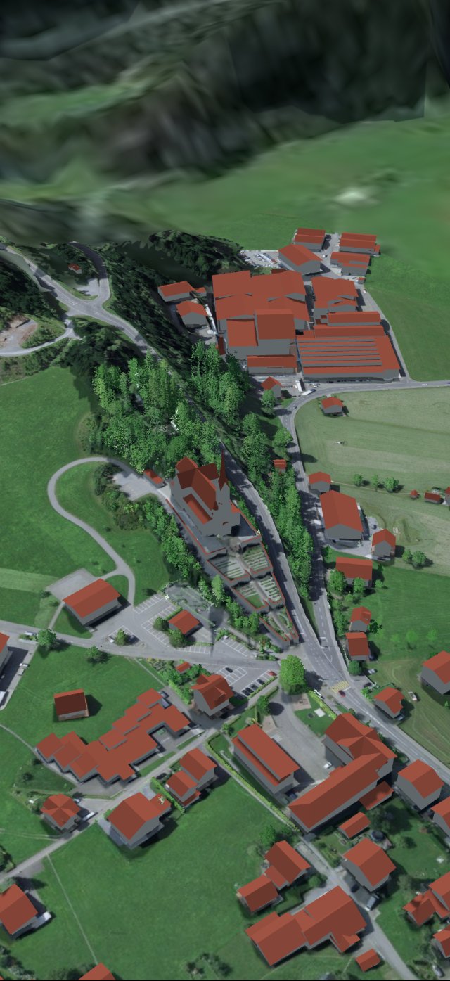


A real report for the Swiss Museum of Transport in Lucerne, Lidostrasse 5 — exactly as you receive it as a link after ordering. Interactive: you can move the date and time in the report and rotate the 3D view.
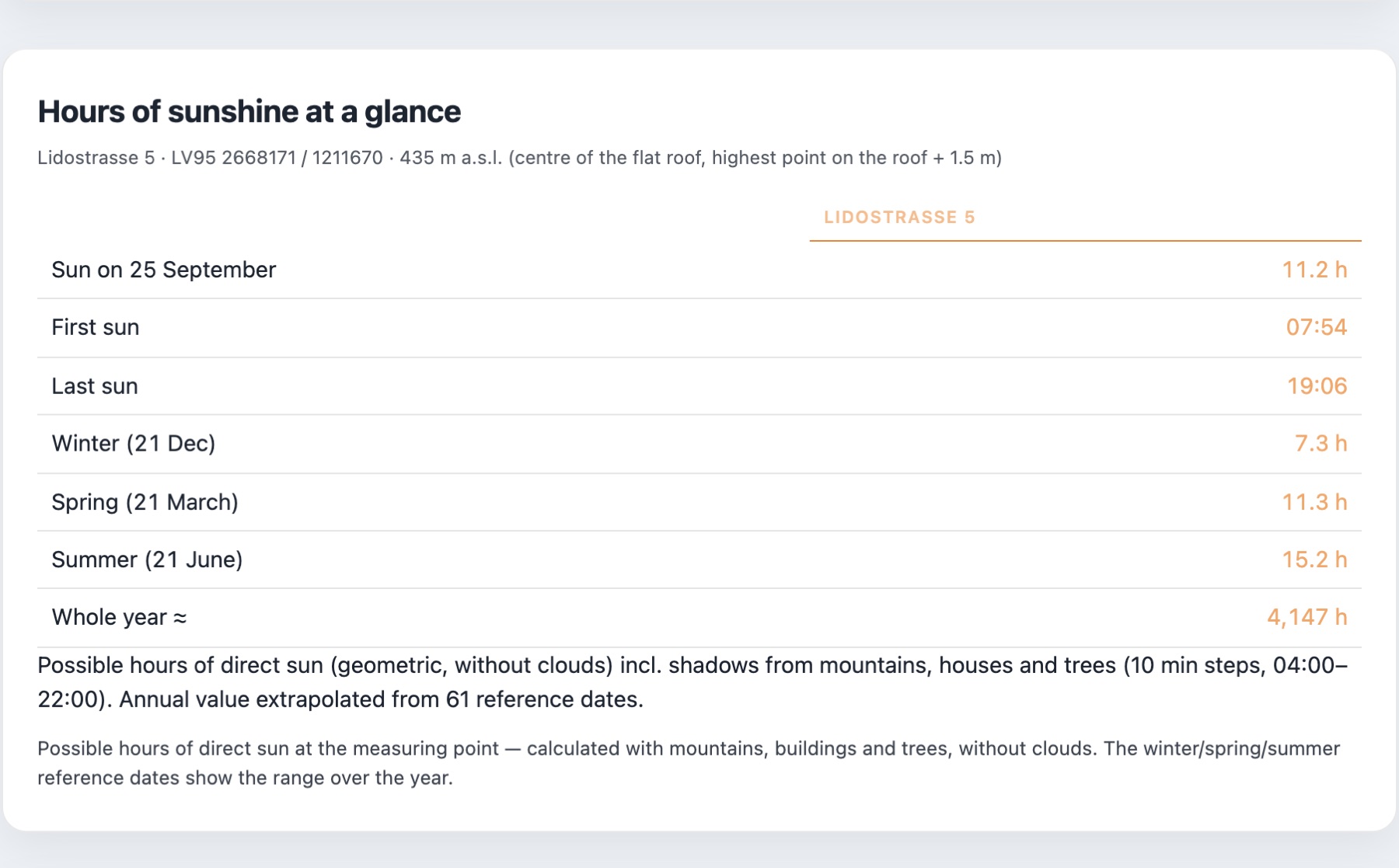
Hours of sunshine at a glance — reference date, first and last sun, winter, spring, summer and the whole year, calculated at the roof ridge of the building.
Also in the report: sun path, view from the façades, shadow on the reference dates, solar potential, surroundings, time travel, natural hazards, noise, air, internet, public transport, groundwater, building zones, climate, shadow-hours map — up to 33 chapters.
When you open it, the report loads the geodata fresh from the Confederation and from our server — depending on your connection speed, this takes one to five minutes.
“Open the app” opens the app with the Swiss Museum of Transport in Lucerne as an example — move the time and date, rotate the 3D view, show filters. No sign-in, in the browser.
Opens in a new tab. The demo loads the geodata fresh from the Confederation and from our server — depending on your connection speed, this takes one to five minutes.
Single report CHF 49, link usually within 24 hours. All examples on this page were created with the same app.
Order a report · from CHF 49