What the surroundings include
| Topic | Data | What you find out |
|---|---|---|
| Public transport | Stops from the FOT, public transport quality classes from the ARE | Distance to the nearest stop, service frequency and quality class A to D. |
| Shops, school, health | Points in the surroundings from OpenStreetMap | The nearest shops, schools, kindergartens, pharmacies and doctors, with distances. |
| Noise | Noise maps from the FOEN | Road and railway noise by day and night, compared with the limit value. |
| Air | FOEN | Nitrogen dioxide and particulate matter at the location. |
| Road safety | Accident statistics from FEDRO | Accidents with personal injury nearby, by location. |
| Building zones | ARE | What may be built opposite: residential zone, mixed zone, work zone. |
| Internet and mobile network | OFCOM | Available bandwidths, 5G coverage, antenna locations. |
Understanding public transport quality classes
The Federal Office for Spatial Development divides Switzerland into public transport quality classes, from A for very good access to D for low access. What counts is the type of stop, the service frequency and the distance. The quality class is a good indicator of whether a household can manage without a second car, and it is factored into valuations.
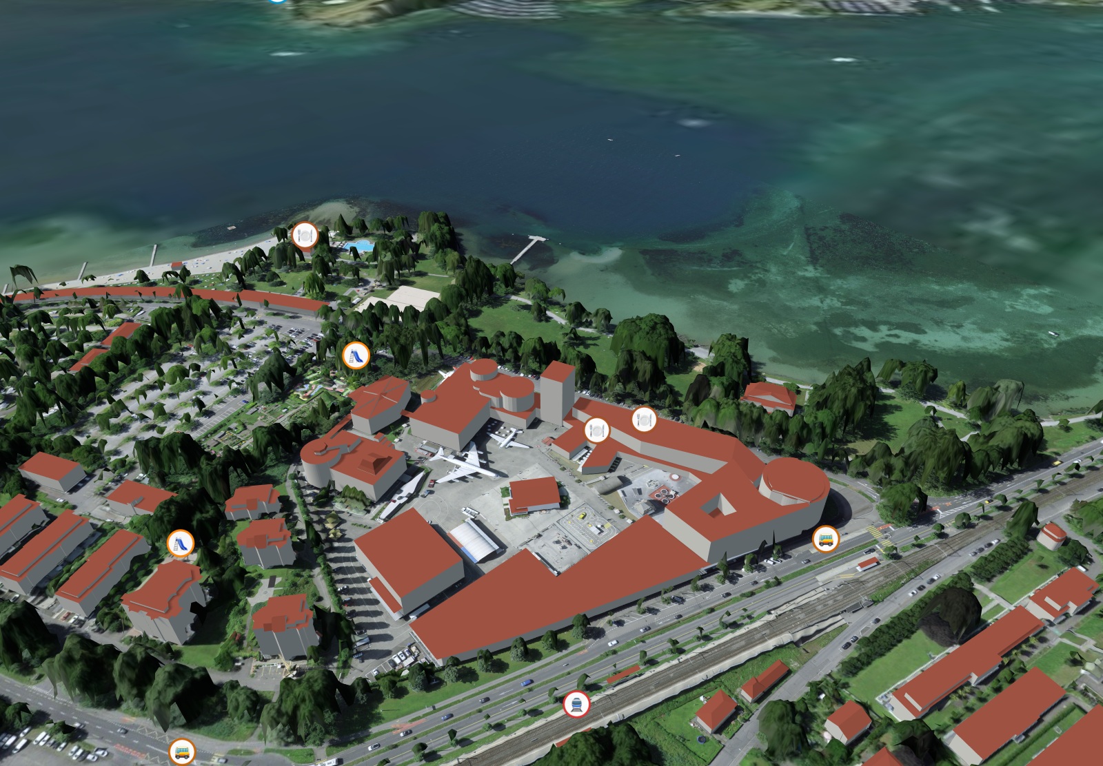
How to read the surroundings correctly
- As the crow flies is not the same as on foot: 300 metres across a railway line can mean a 15-minute detour. The points in the report help you walk the most important routes at the viewing.
- Noise at the right time: the maps apply to day and night separately. What matters is the night on the bedroom side.
- Zones are the future: a work zone opposite can bring commercial activity with delivery traffic, a residential zone a new building that blocks the view.
- Points in the surroundings are not official: shops and doctors come from OpenStreetMap and may be incomplete. Stops, noise, zones and accidents are official.
Short answers
How do I check the surroundings of an address?
With official data: stops and public transport quality class, noise maps, air quality, accident spots and building zones, supplemented by shops, schools and doctors from OpenStreetMap. SunPlot shows all of this on the 3D model of the address, with distances.
What is a public transport quality class?
A rating by the Federal Office for Spatial Development (ARE) from A (very good) to D (low), depending on the type of stop, service frequency and distance. It shows how well an address is served by public transport.
Are the points in the surroundings complete?
Stops, noise, building zones and accidents come from the Confederation and cover the whole of Switzerland. Shops, schools and doctors come from OpenStreetMap and may be missing individual entries.